Yaquina Neversink
Oregon Coast STEM Hub and Lincoln County School District's Summer Learning Experience
Updates:
1st Voyage
The Oregon Coast STEM Hub started working with the Lincoln County Scho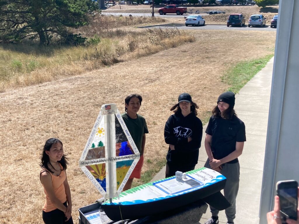 ol District in the summer of 2024. The crew working on the project described their miniboat name’s meaning as follows: “Our team built the boat at Hatfield Marine Science Center, which is situated along Yaquina Bay on the central Oregon Coast.
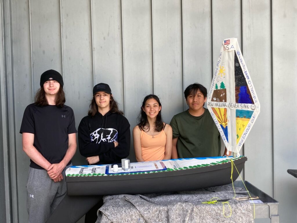 Yaquina Bay is named for this area’s first inhabitants, the Yaquina, Yacona, or Yaqo’n Indians, so the first name of the boat represents our bay and honors the Native Americans whose land we now live on. We chose ‘Neversink; because we are confident that our boat will long be seaworthy.”
-
Preparing the miniboat...
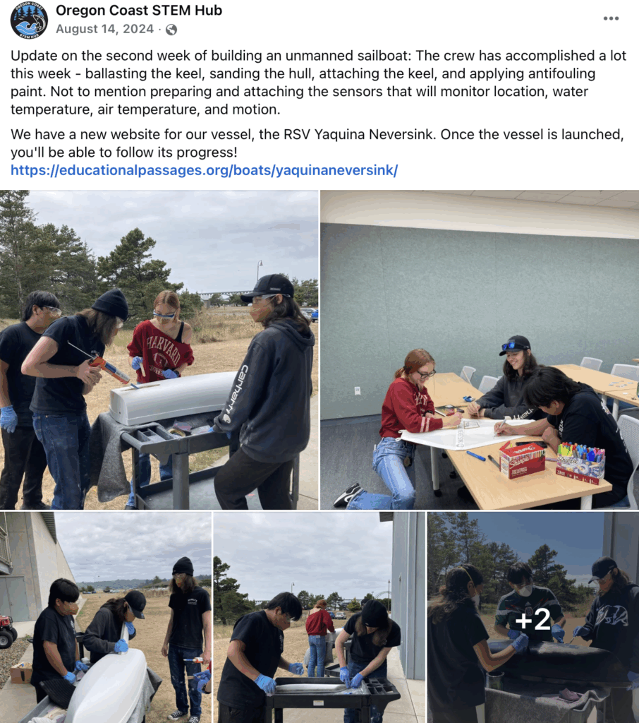
August 14th, 2024 Update:
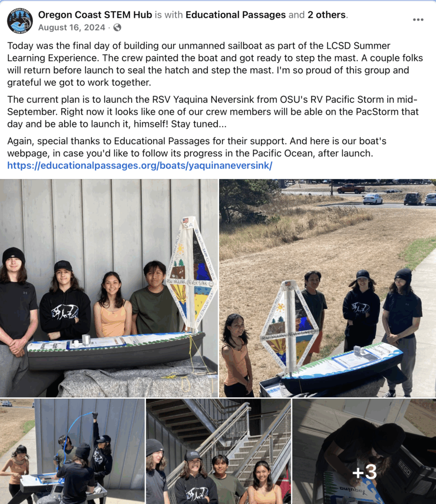
August 16th, 2024 Update:
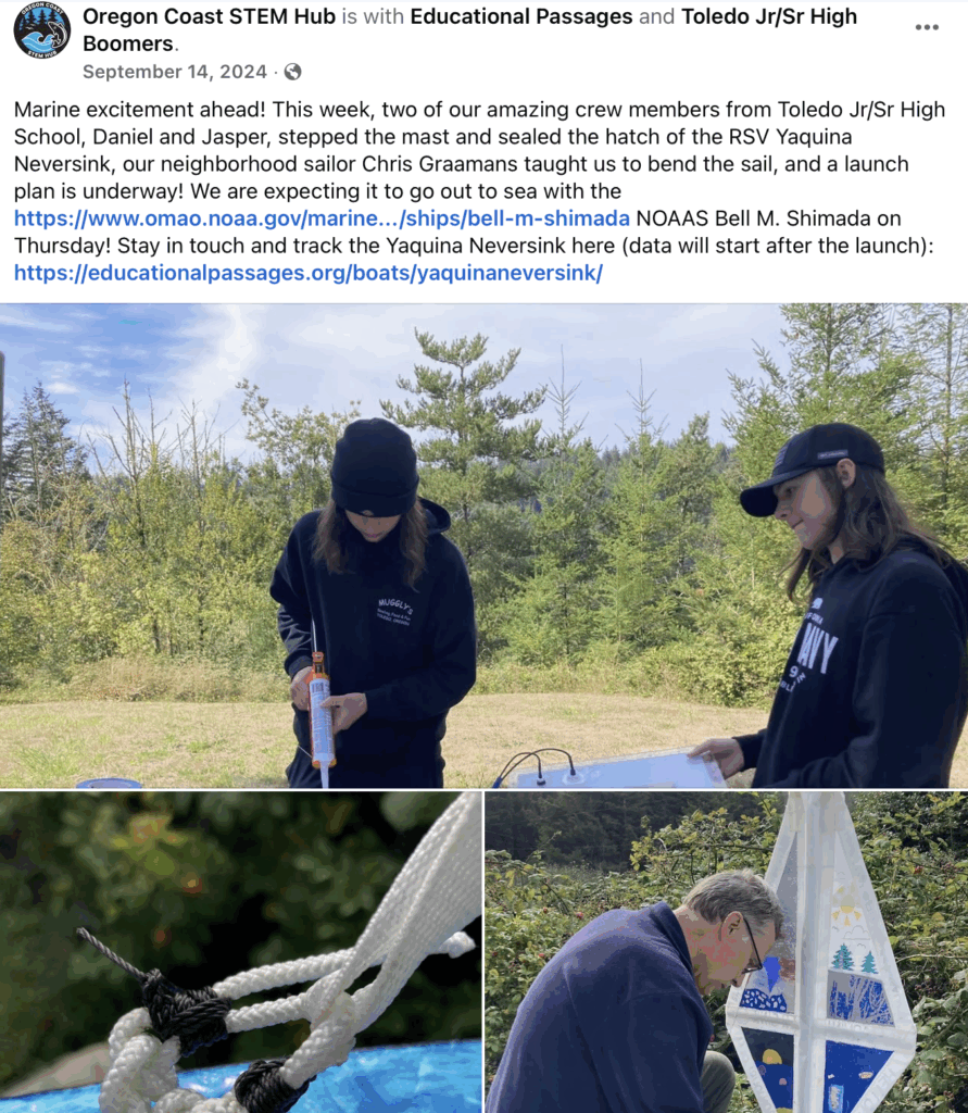
September 14, 2024 Update
Read Oregon Coast STEM Hub’s End of Summer Newsletter with an update on their miniboat experience and the “power of internships”:
Their project was also featured in Oregon STEM’s News and Updates “Blue Economy Adventures” article here!
-
September 21, 2024: Launched into the Pacific
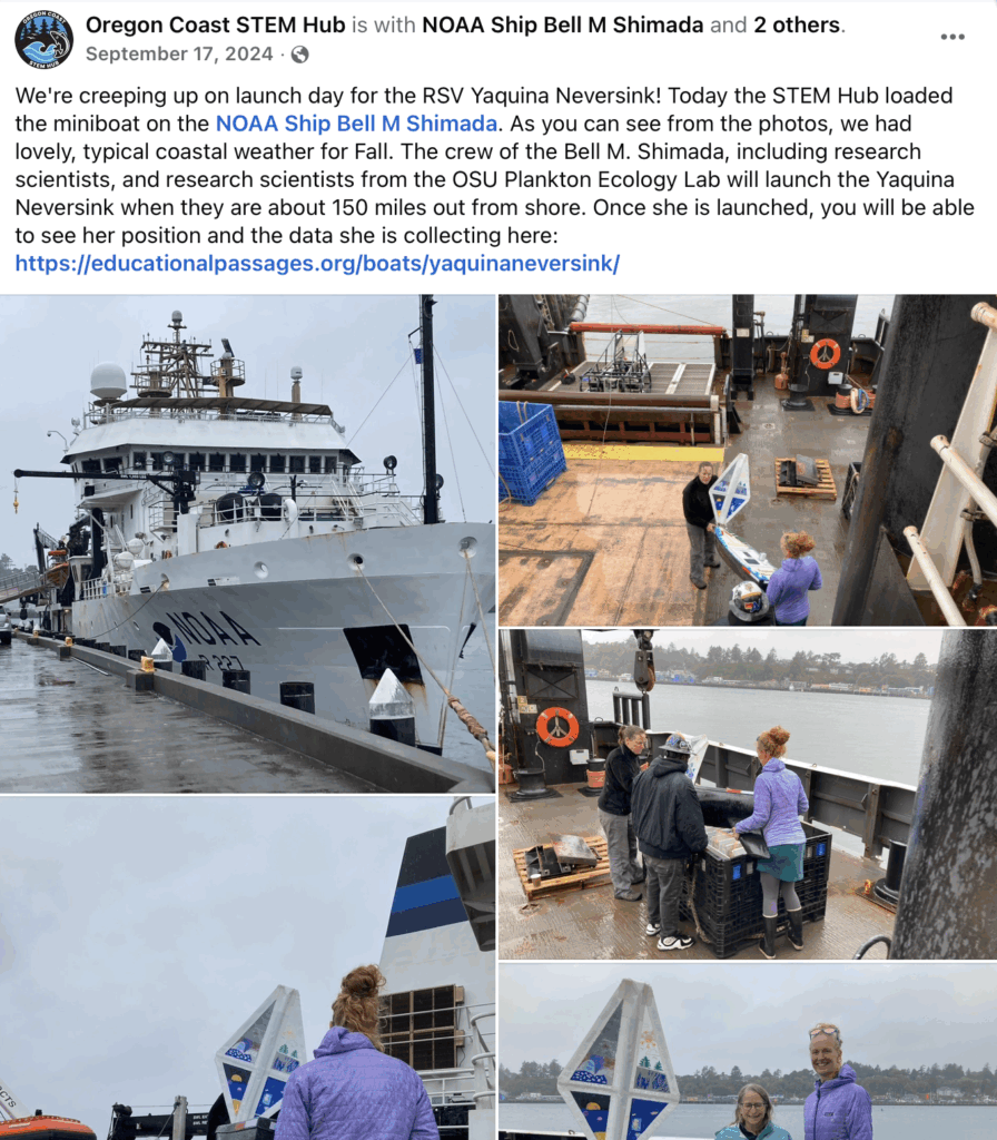
September 17, 2024 Update
September 21, 2024
Yaquina Neversink was set to sea on September 21, 2024. We received the following note from the crew of the R/V Shimada that launched her: “It’s been a beautiful, sun-filled day with low swell so a great day to start its journey!! The vessel it was deployed from was the R/V Shimada.”
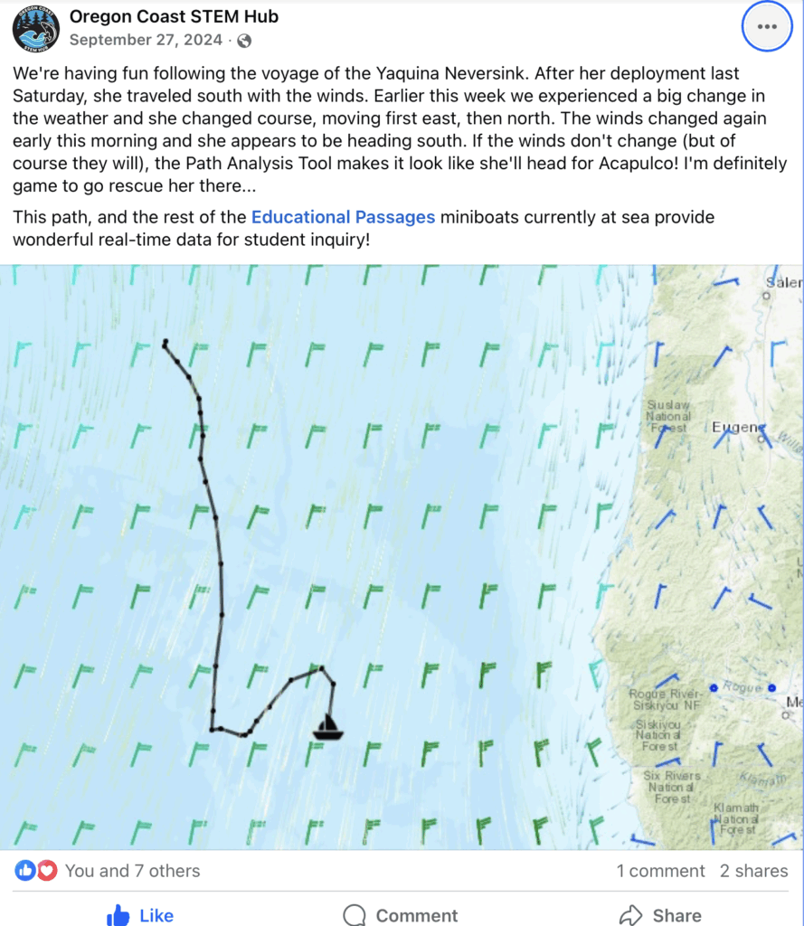
September 27, 2024 Update
Click this post to be sent to Oregon Coast STEM Hub’s Facebook post:
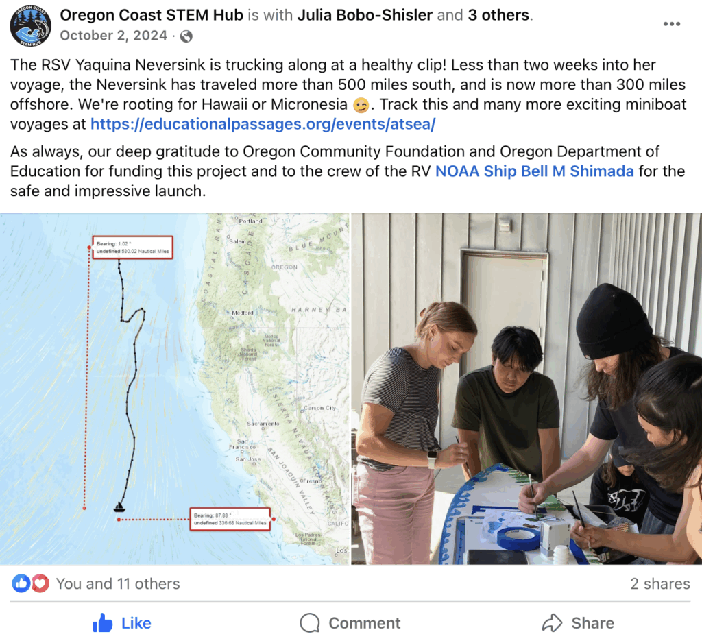
October 2nd, 2024 Update:
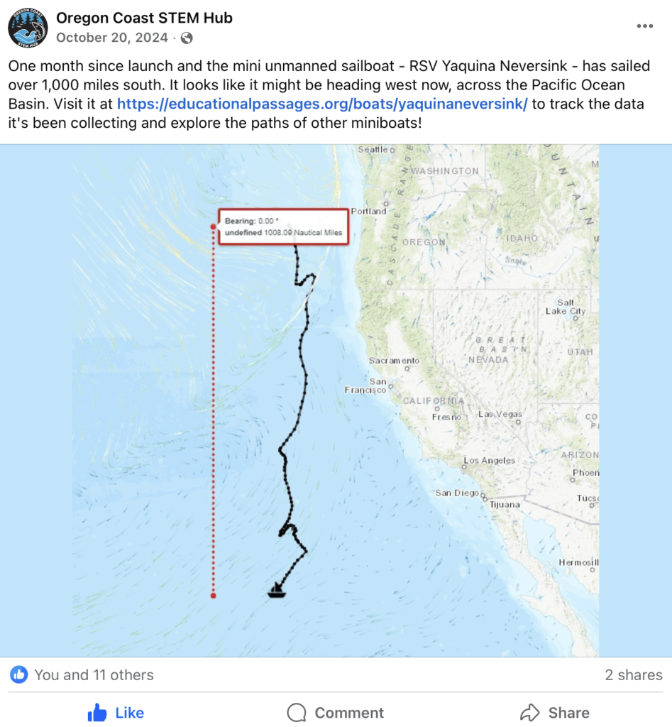
October 20th, 2024 Update:
-
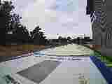
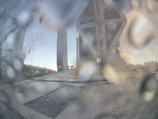
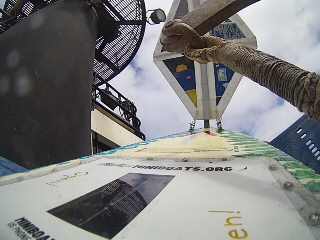
Images from the Camera on Deck
Data from the Sensor Pack:
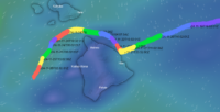
The location reports from the main GPS will show on the map at the top of this page here. In addition to reporting location with a secondary GPS tracker, a sensor system was also installed and collected air temperature, water temperature, and orientation of the boat, which reported until April 2, 2025. We are not sure why the data stopped transmitting but hope to learn more if the boat is ever recovered. If you are interested in looking at the data in a different format from the whole voyage, contact us.
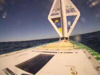
There is also a camera on deck. We took a picture on September 23 and 26, but was not able to get another image after that.
-
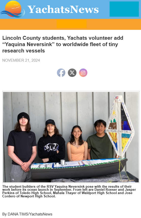
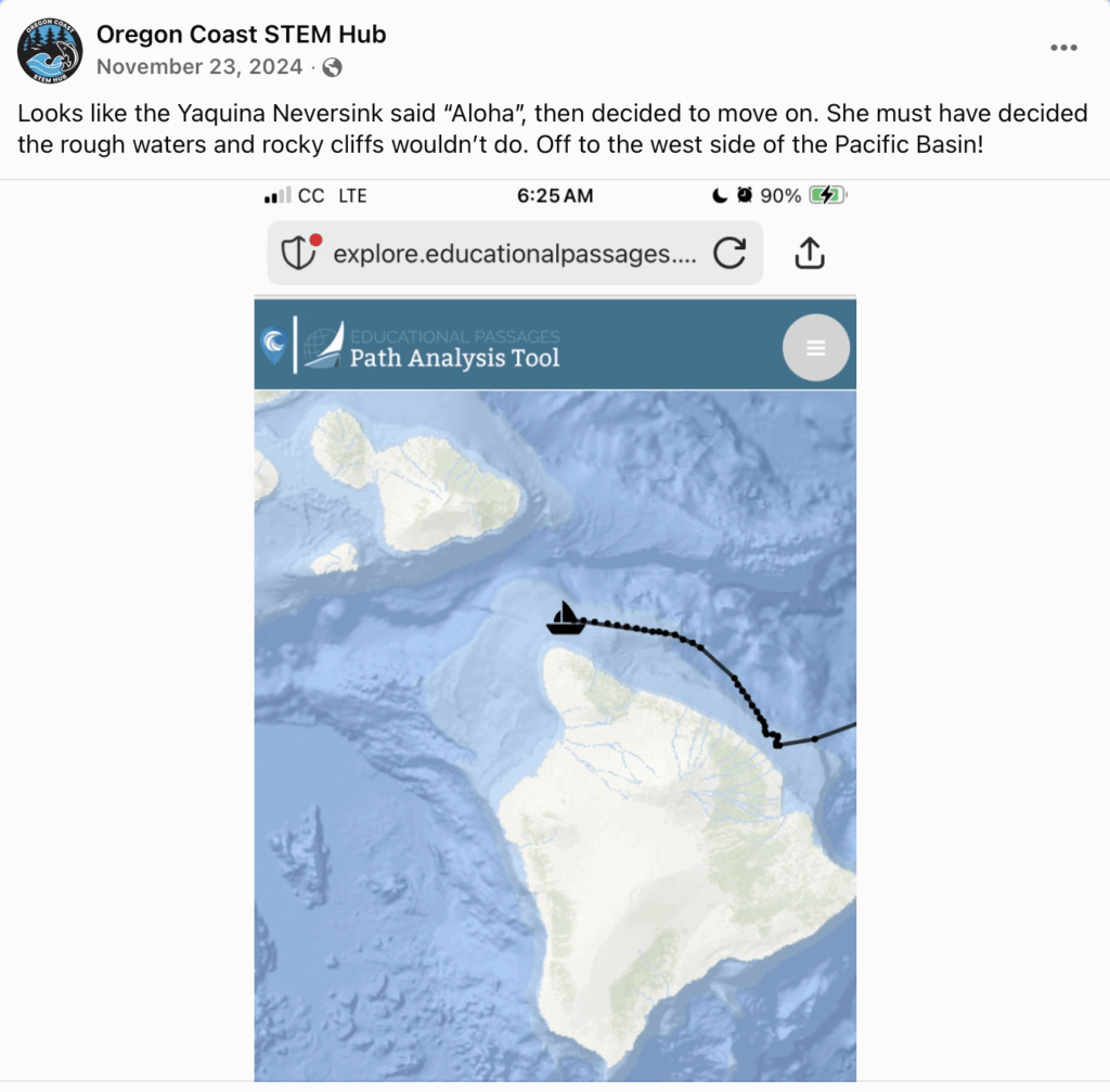
November 21, 2024: Approaching Hawai'i (but continued on)
 *THE FOLLOWING WAS UPDATED AND MINIBOAT IS NO LONGER APPROACHING HAWAII*
November 21, 2024 Update: Approaching Hawai’i
SEEKING ASSISTANCE TO POTENTIALLY RECOVER “YAQUINA NEVERSINK” – UNCREWED STUDENT-BUILT MINIBOAT
EDUCATIONAL PASSAGES AND OREGON COAST STEM HUB LAUNCHED A 1.5m UNCREWED GPS-TRACKED SAILBOAT ON SEPTEMBER 21, 2024 OFF THE COAST OF OREGON.
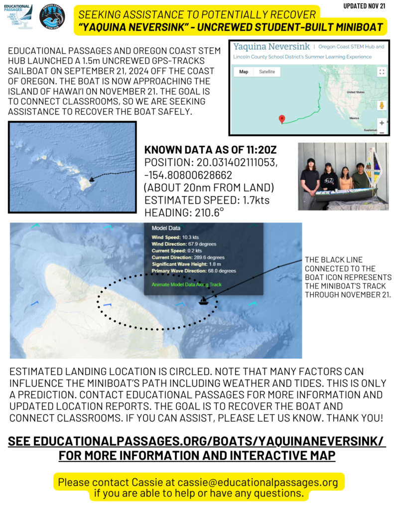 THE BOAT IS NOW APPROACHING THE ISLAND OF HAWAI’I ON NOVEMBER 21. THE GOAL IS TO CONNECT CLASSROOMS, SO WE ARE SEEKING ASSISTANCE TO RECOVER THE BOAT SAFELY.
KNOWN DATA AS OF 11:20Z NOVEMBER 21, 2024:
POSITION: 20.031402111053, -154.80800628662 (ABOUT 20nm FROM LAND)
ESTIMATED SPEED: 1.7kts
HEADING: 210.6°
ESTIMATED LANDING LOCATION IS CIRCLED. NOTE THAT MANY FACTORS CAN INFLUENCE THE MINIBOAT’S PATH INCLUDING WEATHER AND TIDES. THIS IS ONLY A PREDICTION. CONTACT EDUCATIONAL PASSAGES FOR MORE INFORMATION AND UPDATED LOCATION REPORTS. THE GOAL IS TO RECOVER THE BOAT AND CONNECT CLASSROOMS. IF YOU CAN ASSIST, PLEASE LET US KNOW. THANK YOU!
See educationalpassages.org/boats/YAQUINANEVERSINK/ for MORE INFORMATION AND INTERACTIVE MAP
If you have any information about the area or can assist with recovering the uncrewed vessel, please contact Cassie from Educational Passages at cassie@educationalpassages.org. It is an uncrewed vessel, like a “message in a bottle”. Pictures show the boat when it was first launched. Current condition may differ.
-
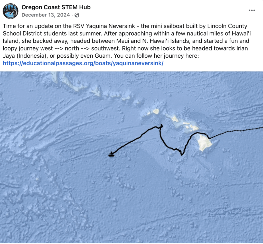
December 2024: The adventure continues
-
April 7, 2025: Traffic Report Update
View this post on Instagram -
May 19, 2025: Recovered in Palau!
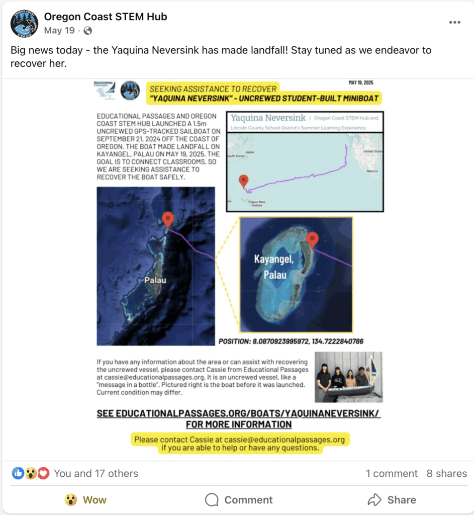
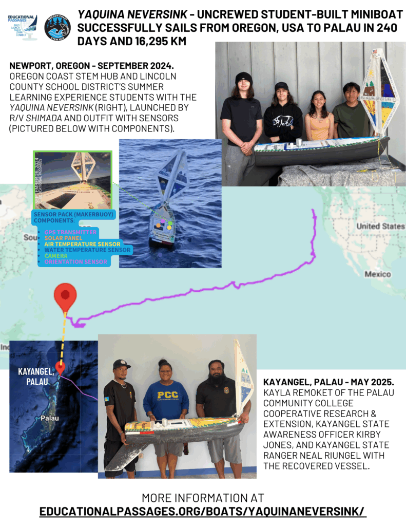
Educational Passages and Oregon Coast STEM Hub partnered with Lincoln County School District to build a 1.5m uncrewed GPS-tracked sailboat, which was launched from the R/V Shimada on September 21, 2024 off the coast of Oregon.
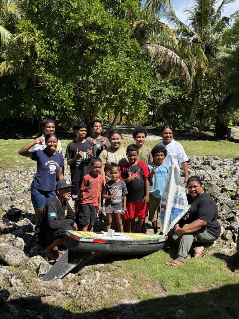
After 240 days at sea, the boat, named by the students as Yaquina Neversink, made landfall on Kayangel, Palau on May 19, 2025.
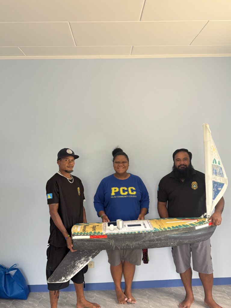
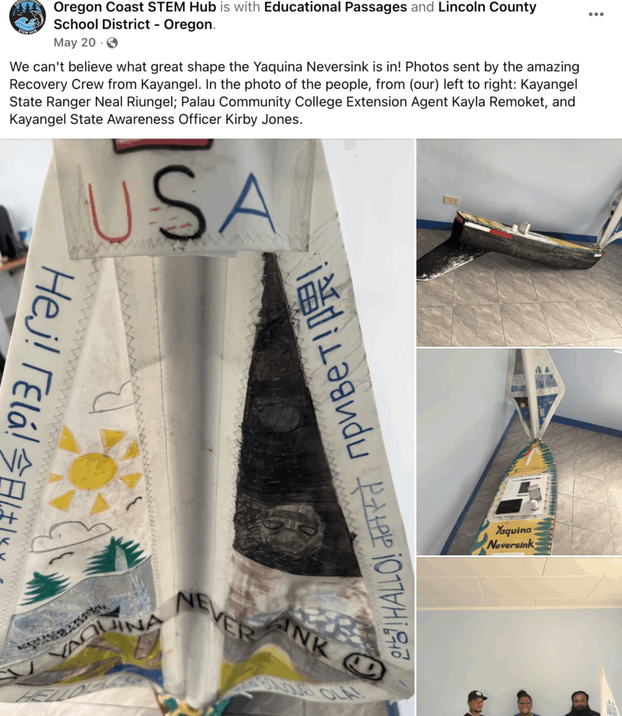
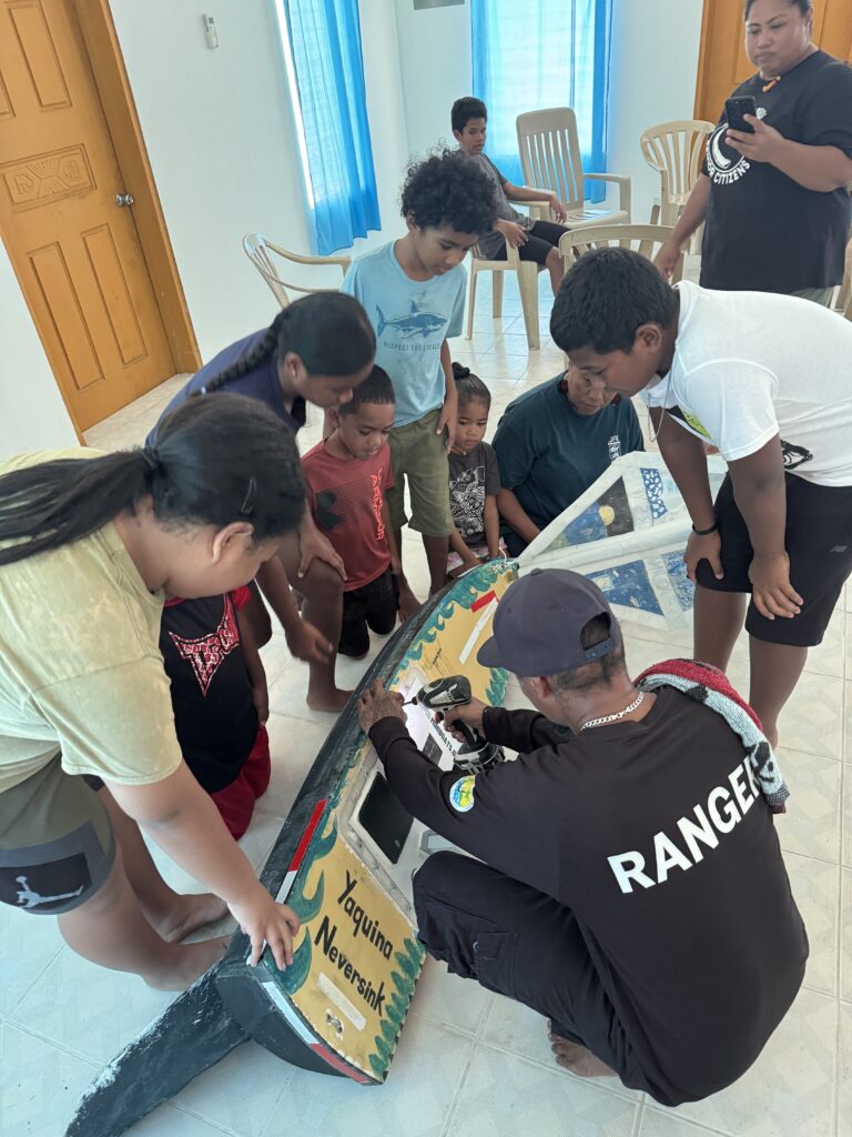
Thanks to the quick work of the Oregon Sea Grant network, connections were made and a successful recovery of the boat was reported on May 20! We’d like to thank Kayla Remoket of the Palau Community College Cooperative Research & Extension, Kayangel State Awareness Officer Kirby Jones, and Kayangel State Ranger Neal Riungel (all pictured here) for their support and leadership to recover the boat (and for the pictures).
Check out Oregon Coast STEM Hub’s Facebook update!
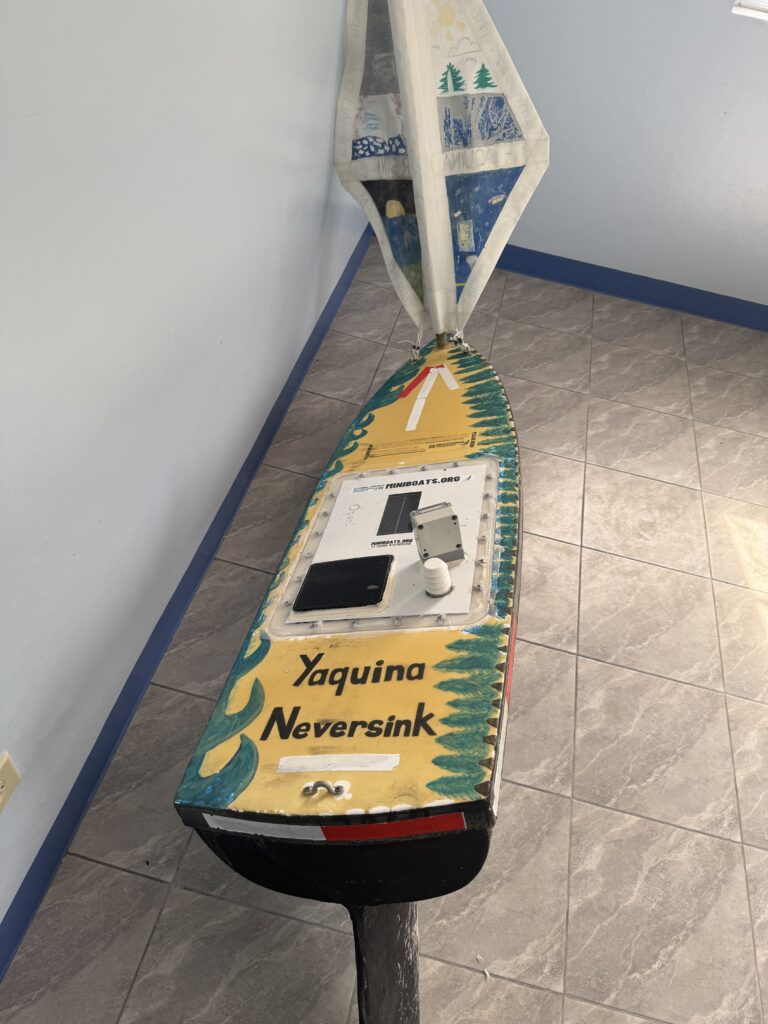
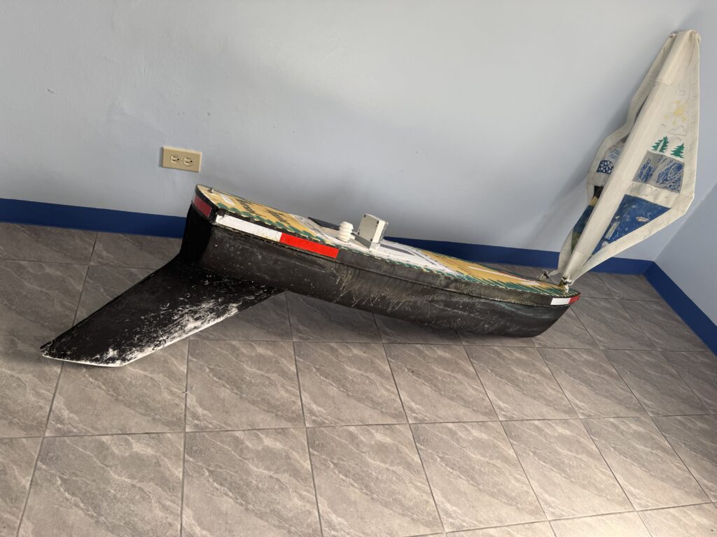
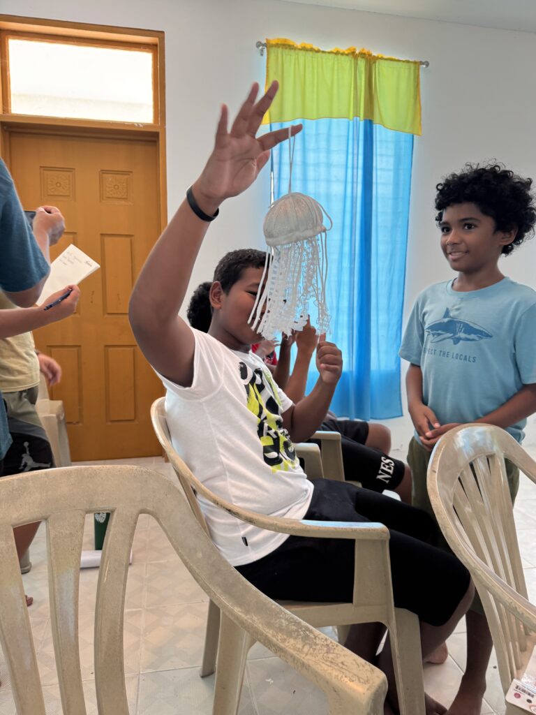
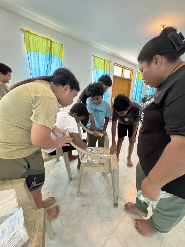
Now the miniboat is located at a local school where students have been able to discover the special items inside the cargo hold and learn more about the project! Next, the students of Palau will make connections with the students who built the boat in Oregon,USA, across the pacific.
To read the story, and find out more about the new record(s) that were set, check out our recent blog post:
The M/B Yaquina Neversink’s Record-Breaking Voyage Across the Pacific
-
Voyage 1: Complete
Click on the titles above to learn all about the first voyage of Yaquina Neversink!
2nd Voyage
-
July 2025 - Sensor and Sail Replacements
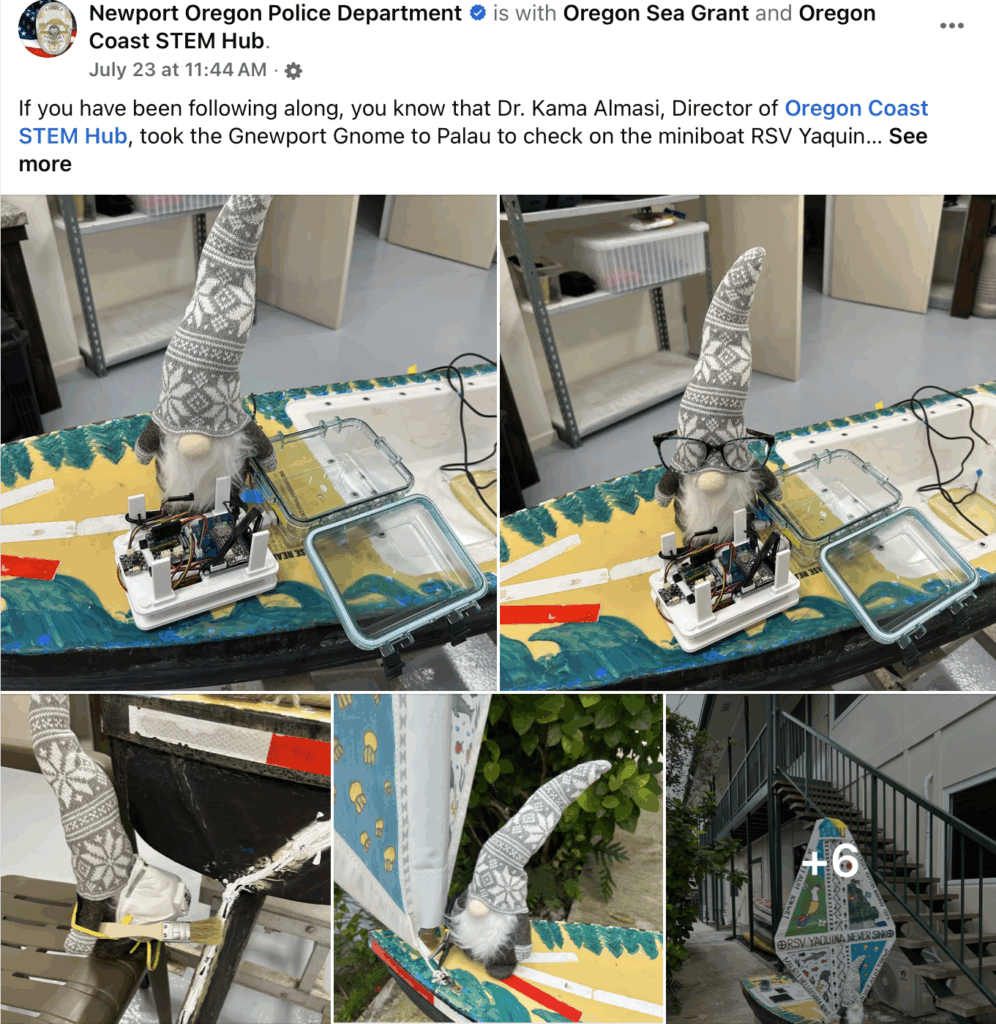
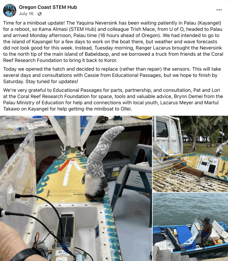
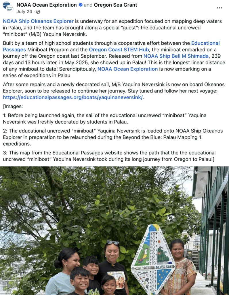
Dr. Kama Almasi – Director of Oregon STEM Hub, alongside her colleague Trish Mace – from the University of Oregon, have traveled together to Palau! This trip is to ensure the necessary replacement of the sensor pack, prior to a relaunch for its second voyage.
It looks as though they have brought a friend along with them:
Read more fun updates here:
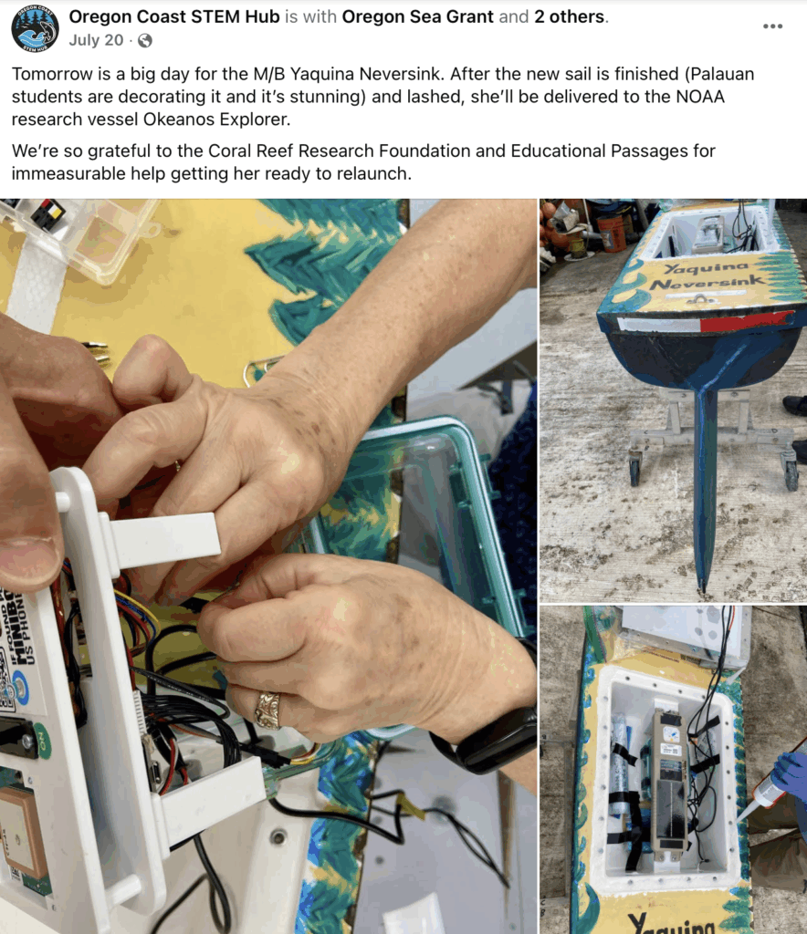
In addition to the sensor pack being replaced, the students and educators of Palau helped decorate and affix a brand new sail for the miniboat as well!
-
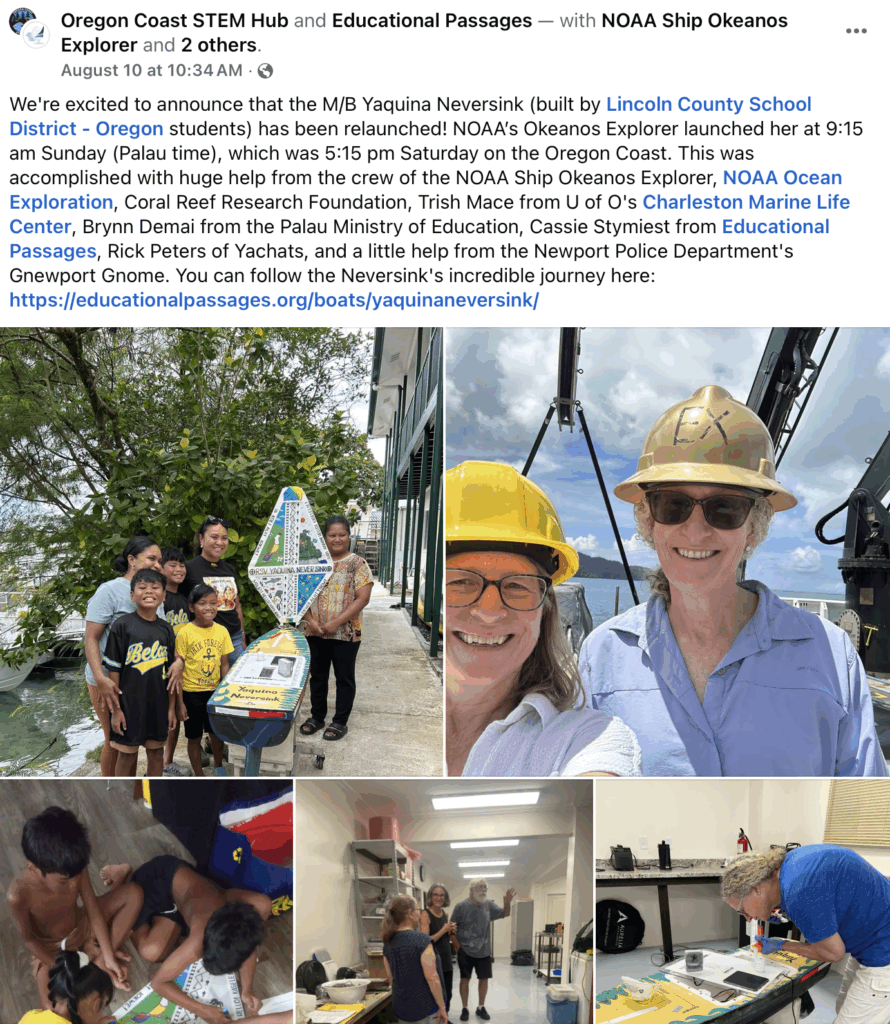
August 10, 2025: Relaunched from the NOAA Okeanos Explorer
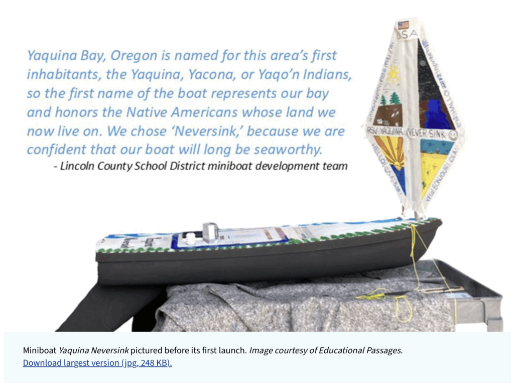
By July 24, the miniboat was ready and put aboard the NOAA Ship Okeanos Explorer:
Check out NOAA Ocean Exploration’s post on Facebook for full details!
The Lincoln Chronicle published a follow up article about the project: The unsinkable RSV Yaquina Neversink resumes record-setting ocean journey after 3 month stop in Palau | August 7, 2025
Then, on August 9. 2025 (UTC time, but August 10, 2025 0915 local time in Palau), the Yaquina Neversink was set back to sea by the NOAA Okeanos Explorer during their mission to map the seafloor! We want to send a big thank you to the entire crew for their support of this project.
They sent the following note about the launch:
1. Launch time: 0915. Coordinates: 05-16.6 N, 133-51.4 E.2. Glassy seas, SW breeze blowing 3 kts, 28.6 C air temp.3. AB Peter Brill and GVA Desmond Church guided the boat over the side. AB James Scott managed the crane.Oregon STEM Hub also posted the exciting news on their Facebook page!
September 4th Update:
NOAA Ocean Exploration features the epic journey and their involvement in the relaunch in the article “Miniboat Yaquina Neversink: A Record-Breaking Journey Continues to Unfold.”
September 30th, 2025 Update:
While monitoring miniboats around the globe, using the Path Analysis Tool (PAT), we noticed that YN has had some interesting tracks over the past couple weeks… We investigated further by taking a photo of her and this is what we caught!
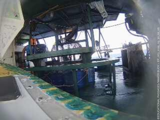
M/B Yaquina Neversink appears to have been recovered out at sea (by what we presume to be a fishing vessel) and is safe aboard their deck.We hope to hear from the vessel’s crew once they get closer to land and are actively working on getting more information on our end.
We will update here soon. Stay tuned!
OCEAN SCIENCE DATA FROM ONBOARD SENSOR PACK
The map below is showing the data reporting from the second GPS which is connected to a custom sensor package. In addition to reporting location with a secondary GPS tracker, this system is also collecting air temperature, water temperature, and orientation of the boat. Please note that the map below will only show the last day of data and may include invalid points and data. If you are interested in looking at the data in a different format from the whole voyage, contact us.
-
November 19th, 2025: "Wow, Palau!" Podcast Episode Featuring Yaquina Nevesink
Yaquina Neversink, the miniboat that forges global connections, breaks records, and brings students closer to science, community, and the power of the ocean itself. Guided by a name rooted in hope and heritage, this tiny vessel proves just how far small beginnings can truly travel.
Neversink’s resilient journey is one worth sharing. Now press play, close your eyes, and imagine this:
Thank you to: Oregon Community Foundation for the kit and supplies, the Oregon State Legislature for funding the Summer Learning Experiences for youth, the entire Palau community, and NOAA Ocean Exploration and crew of the NOAA Okeanos Explorer
