Explore Miniboat Maps

Map Miniboat Tracks

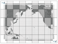
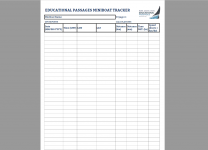
Download and print the Voyage Tracker Worksheet from the link to the right, and keep track of the position reports from the boat’s page as it sails. Then plot the points on one of the map grids below. You can download and print letter size, or poster size as tiles and tape them together to make a poster for your classroom or wall at home. CLICK HERE to see other activities on our Educators Resource Page.

EP_VoyageTracker
Click to download the Voyage Tracker Worksheet (.PDF)

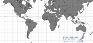
World

epworld
Click to download the World Map - 10 degree grid - One Sheet (.PDF)

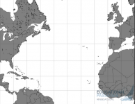
Atlantic

epatlantic
Click to download the Atlantic Map - 10 degree grid - One Sheet (.PDF)
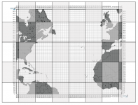
epposter_atlantic
Click to download the Atlantic Map - 1 degree grid - Tiled - Makes 4 ft. x 5 ft Poster (PDF - 40 pages)

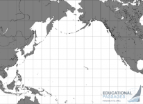
Pacific

eppacific
Click to download the Pacific Map - 10 degree grid - One Sheet (.PDF)
epposter_pacific
Click to download the Pacific Map - 1 degree grid - Tiled - Makes 4 ft. x 6 ft Poster (PDF - 45 pages)

    Warning: foreach() argument must be of type array|object, string given in /var/www/vhosts/educationalpassages.org/httpdocs/wp-content/themes/bc_starter/page-3744.php on line 71

JOIN THE ADVENTURE

Join us in our mission to connect people around the world to the ocean and each other! We need your help so that together we can continue to inspire students, support educators, and connect communities.

HOW TO START OR JOIN A MINIBOAT ADVENTURE

SPONSOR OR HOST A LOCAL MINIBOAT PROGRAM