
Updates:
1st Voyage
About Us
The Oregon Coast STEM Hub started working with the North Bend High School in 2024. They named their boat, Hesperia. The reason behind the name: Our school motto is “The Pride of all the West”, our mascot is Hesper the Bulldog, and our yearbook is the Hesperian. Hesperia means “Western Land” and we are located very close to the Pacific Ocean.
This project was made possible by the Oregon Coast STEM Hub. The crew would also like to thank their librarian, Ali Lancaster, for allowing them to work on and store the ship in her back room.
-
The journey so far...
-
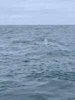
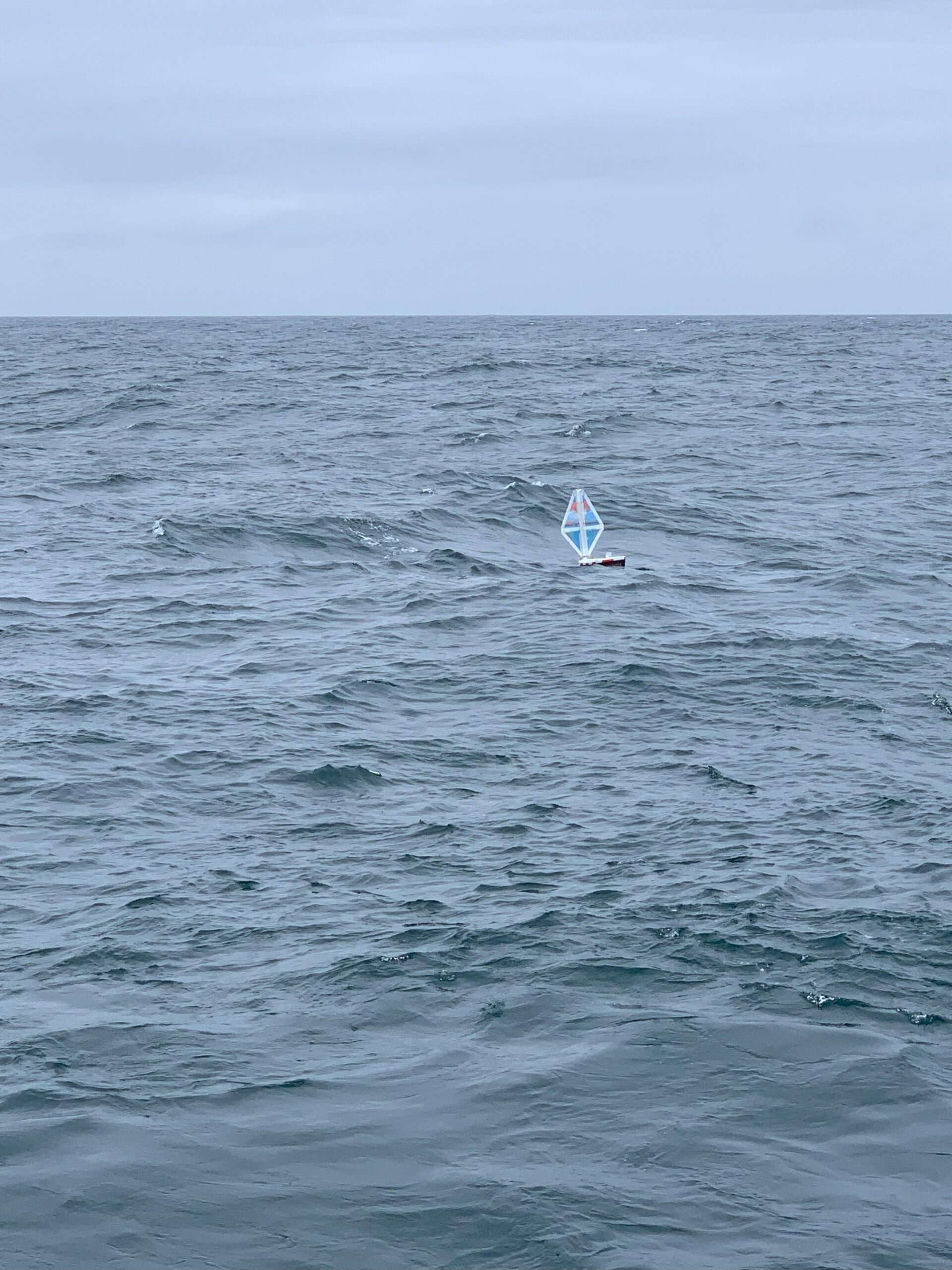
May 30, 2025: Launched into the Pacific
-
June 1, 2025: Landed and Recovered
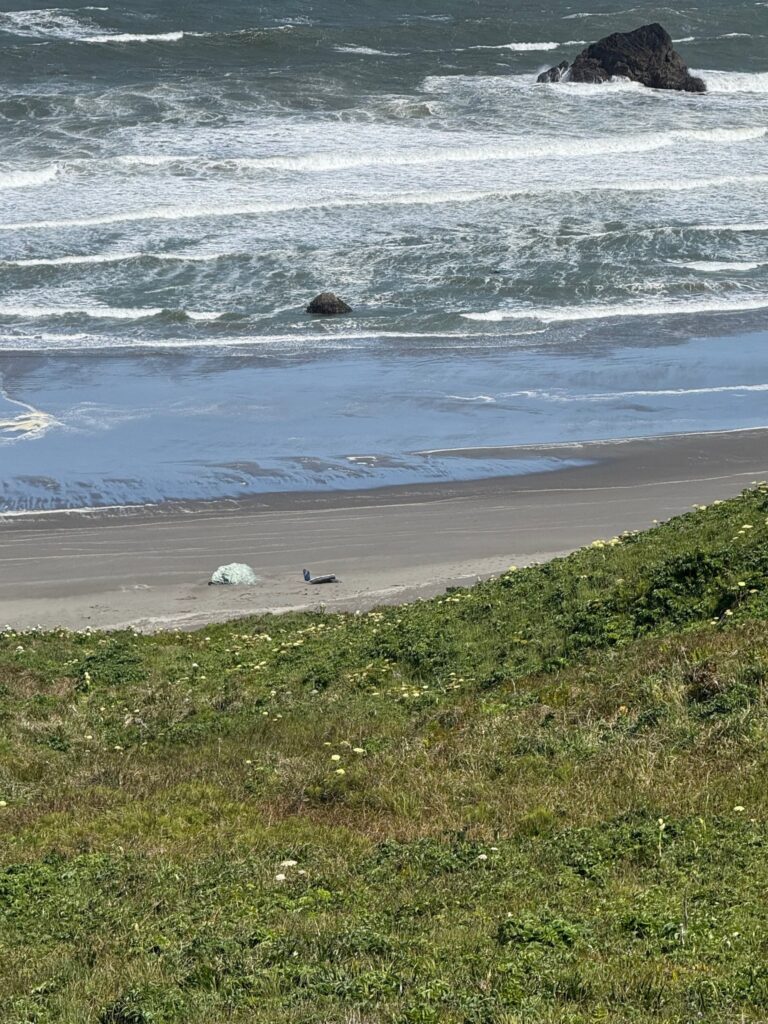
M/B Hesperia landed just 1 day after launch, with the winds and waves washing it ashore a sandy beach to rest before being recovered by local educators.
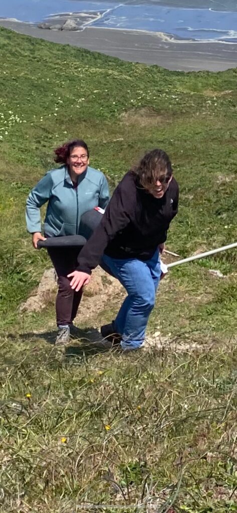
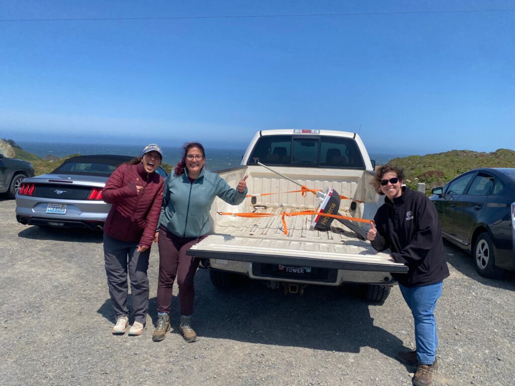
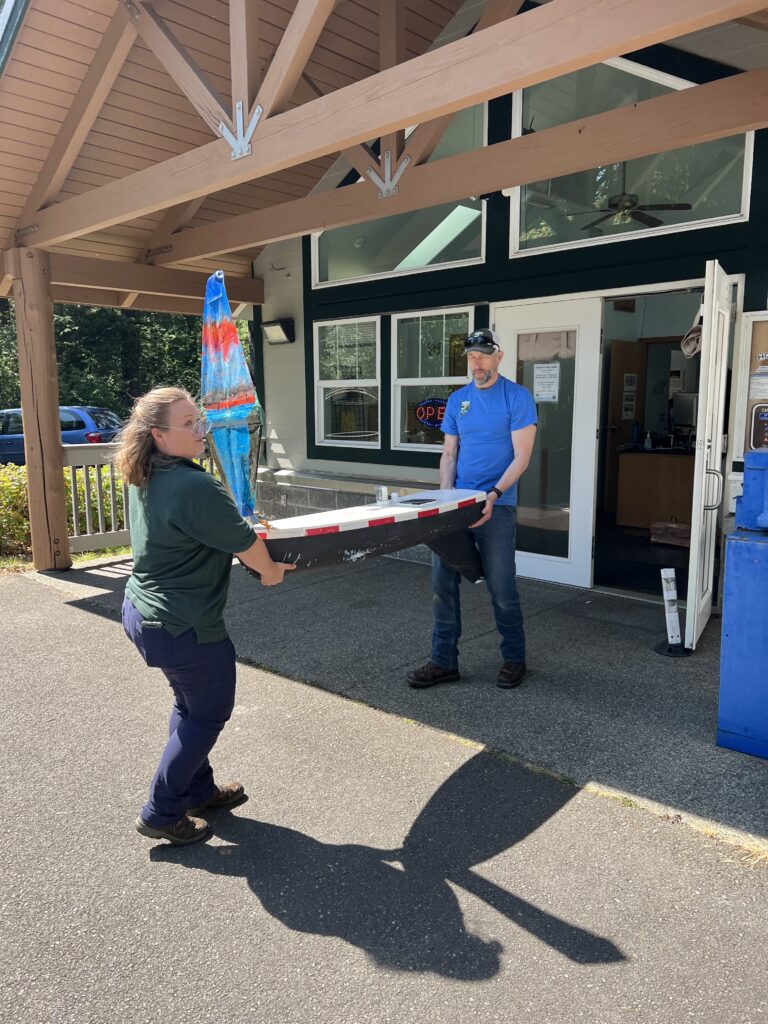
“Apparently the Hesperia decided she wasn’t ready to leave yet, so she cruised back to land this morning – stopping at the north beach of Cape Blanco. Rock star NBHS teachers Christina Geierman and Jennifer Hamel found her and carried her back up the hill. They were joined near the end of the hike by Jenn and Chase – Jenn is our South Coast Coordinator. Next step – NBHS students will assess her for damage and we will all plan the relaunch!” -Oregon STEM Hub
-
Voyage 1: Complete
Click on the titles above to explore the 1st voyage of the M/B Hesperia.
2nd Voyage
-
June 17, 2025: Relaunched off the coast of Oregon
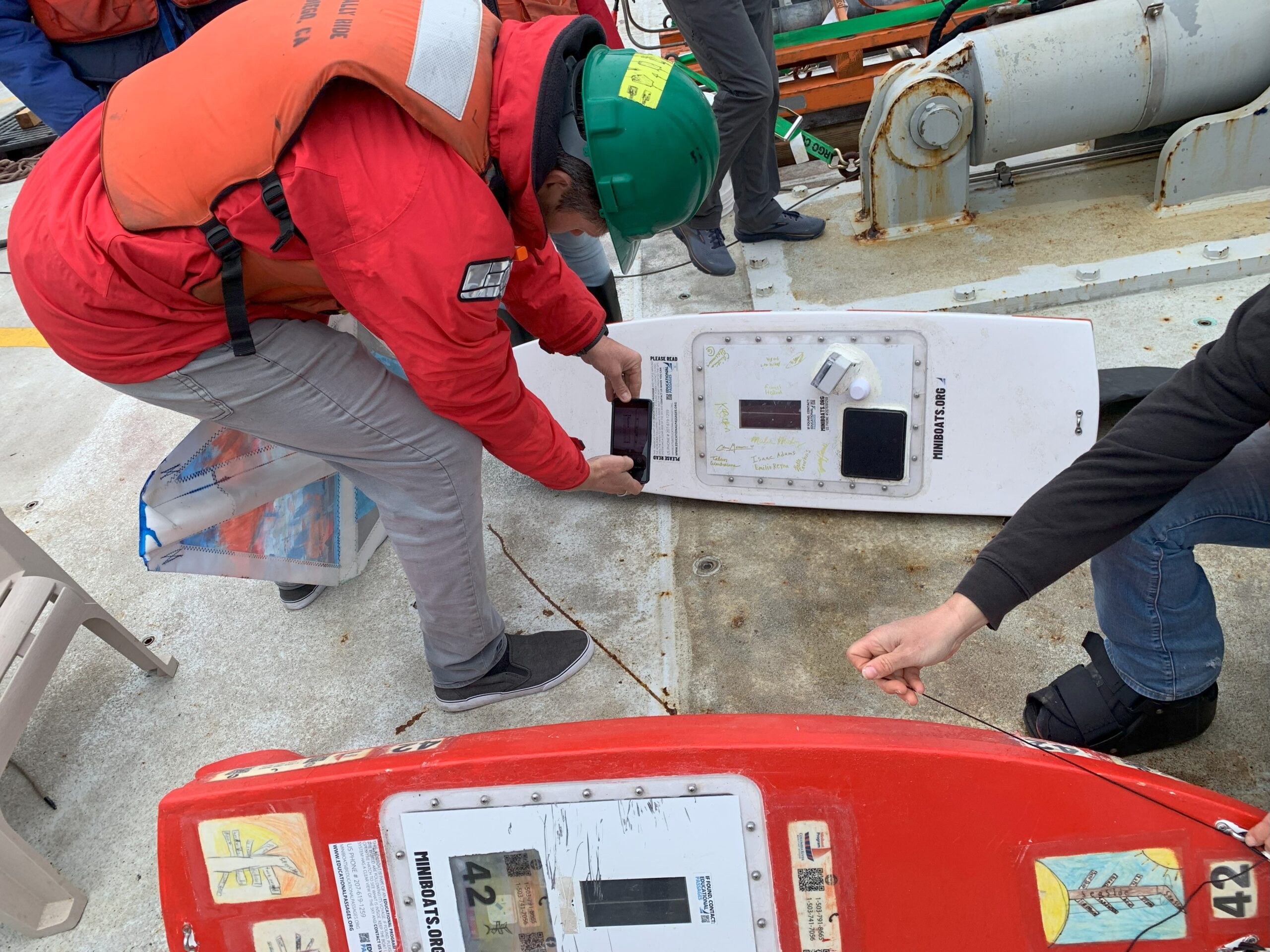
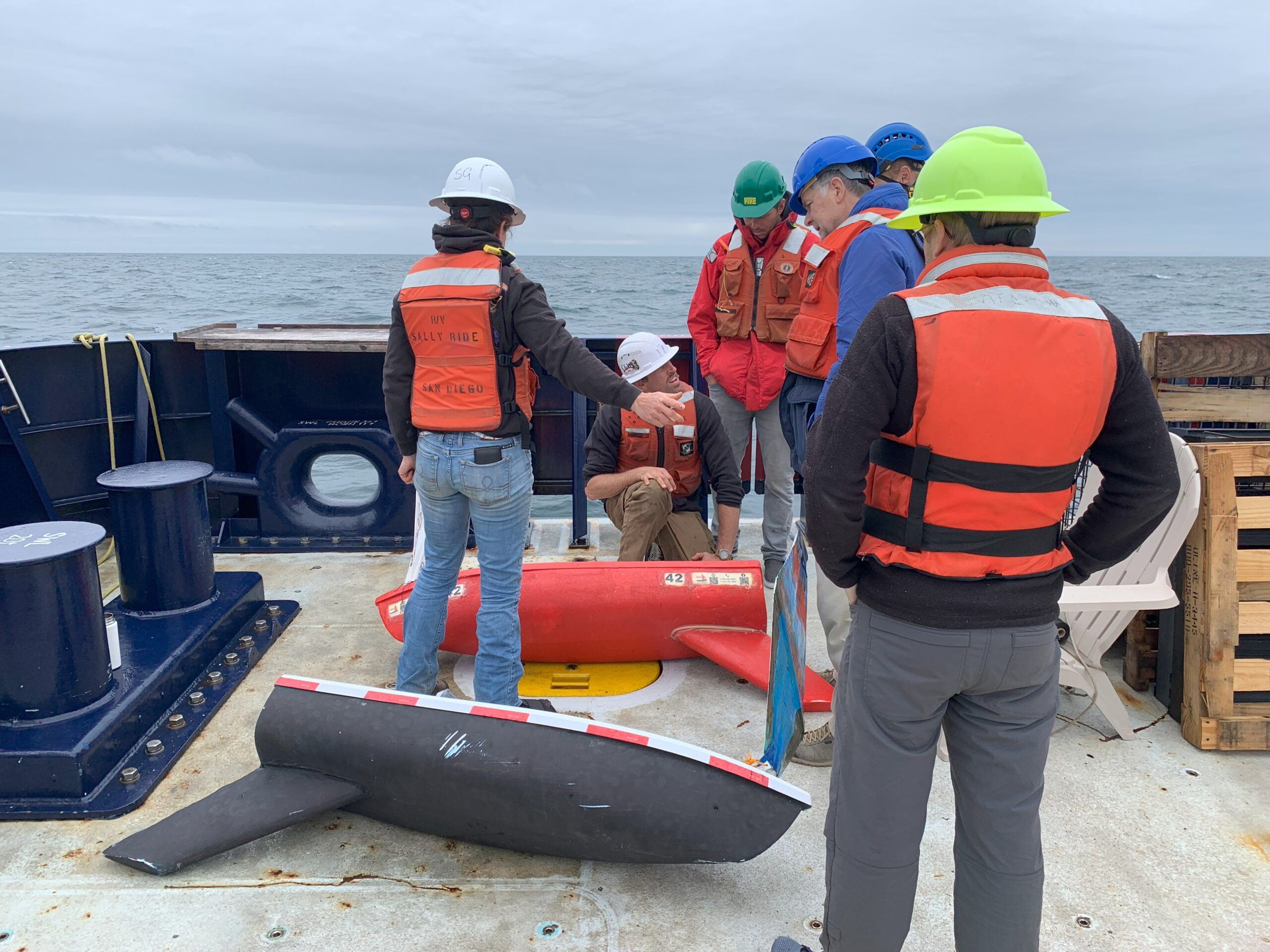
At 10:40 AM today (6.17) M/B Hesperia and Sunset Sailor was relaunched into the Pacific Ocean by the crew of the NOAA ship R/V Sally Ride about 30 miles off the Washington Coast (47 04.20 N, 124 54.84 W).


-
June 20, 2025: Landed in Ocean Shores, Washington
After only 3 days at sea, the Hesperia found her way to Ocean Shores, Washington where she landed on a beach and was recovered.
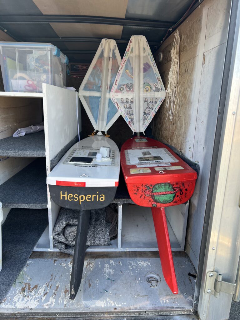
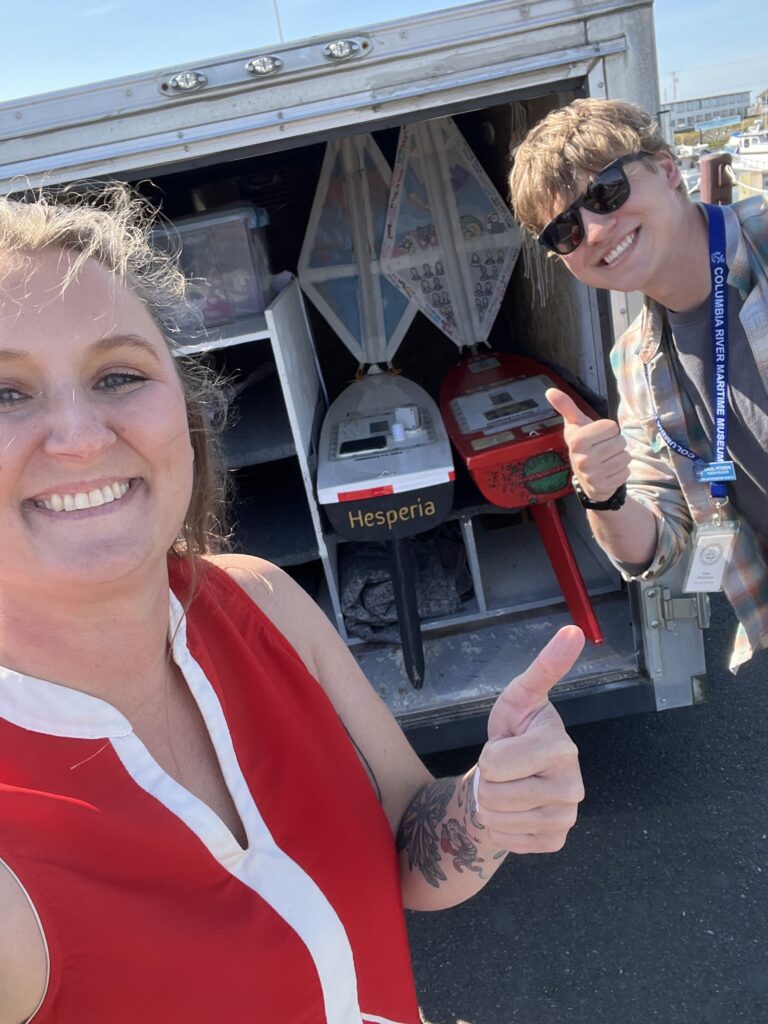
Katy Menne from the Columbia River Maritime Museum successfully picked up Hesperia and M/B Sunset Sailor on June 23.
The Hesperia was later returned to the Hatfield Marine Science Center.
-
Voyage 2: Complete
Click on the titles above to explore the 2nd voyage of the M/B Hesperia.
3rd Voyage
-
Data from the Sensor Pack
The location reports from the main GPS will show on the map at the top of this page here (which updates hourly with new positions if available). Here below is where you can see the data reporting from the second GPS which is connected to a custom sensor package. In addition to reporting location with a secondary GPS tracker, this system is also collecting air temperature, water temperature, and orientation of the boat. Please note that the map below will only the last 7 days of data and may include invalid points and data. If you are interested in looking at the data in a different format from the whole voyage, contact us.
-
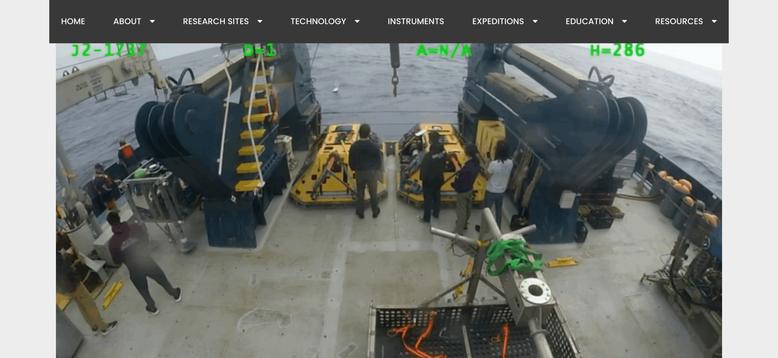
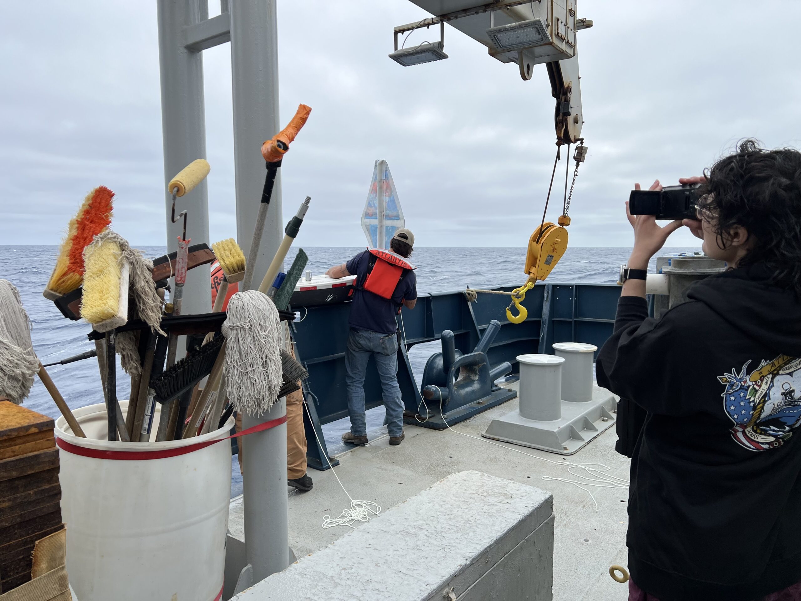
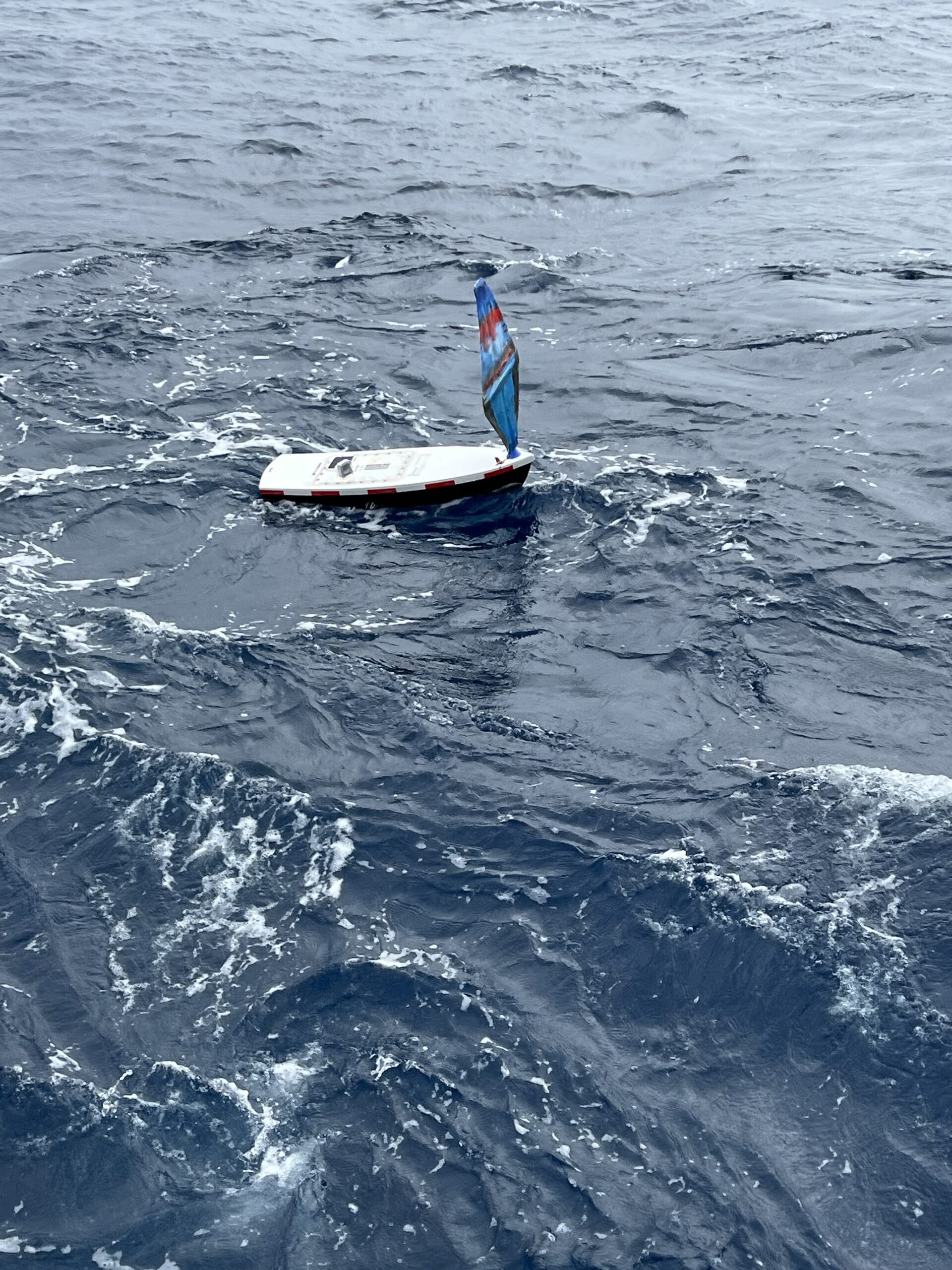
August: Relaunched from the R/V Atlantis
August 24, 2025 – Relaunched and LIVE STREAMED from https://interactiveoceans.washington.edu/visions25-live-video/

Here are pictures from the launch thanks to Michael Vardaro, University of Washington:
August 29th Update:
Oregon Coast STEM Hub’s newsletter featured many “miniboat madness” summer updates, including one of MB Hesperia!
“Christina Geierman’s students from North Bend High School created the mighty M/B Hesperia (main newsletter photo), which was recently relaunched for the third time thanks to NOAA’s R/V Atlantis. This time, the Hesperia was released to the sea 300 miles offshore and we are hoping the third time is the charm for her to stay out and explore uncharted waters!”
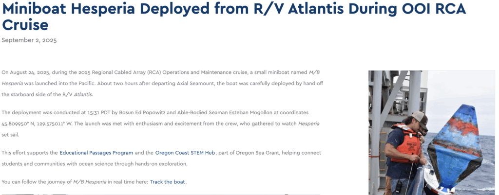
September 2nd Update:
Ocean Observatories Initiative (OOI) highlights this special relaunch opportunity in the article, “Miniboat Hesperia Deployed from R/V Atlantis During OOI RCA Cruise.”