MI Adventurer
Mount Pearl Intermediate School and the Marine Institute

Updates:
Voyage 1
-
About Us
Engineer students at the Marine Institute conducted a daylong workshop in collaboration with Mount Pearl Intermediate School’s grade eight classes. This partnership aims to teach about ocean currents and wind to complement the middle school’s Oceans curriculum, in conjunction with mentorship from university scholars studying in the maritime field.
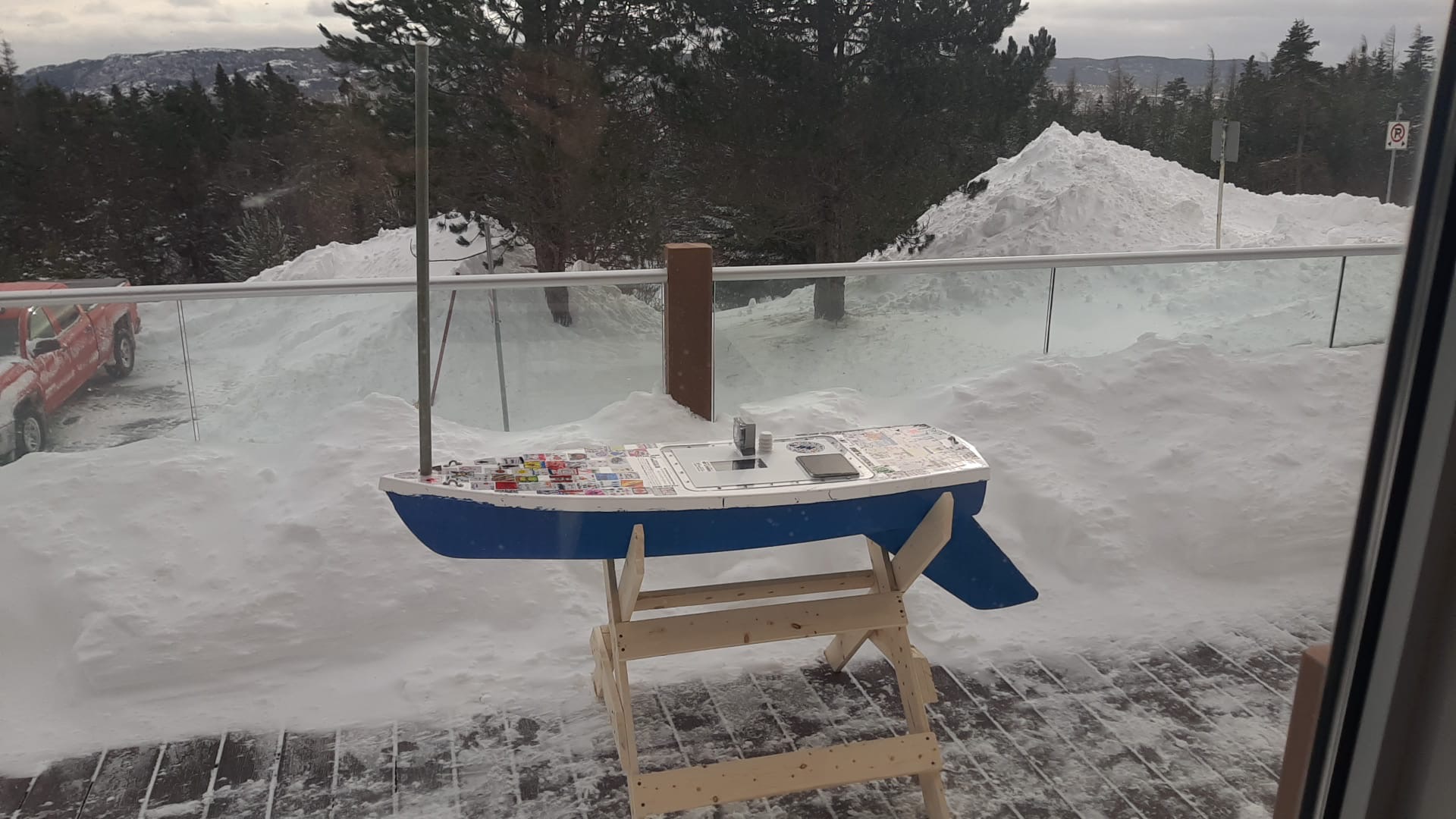
The eighth grade students worked together to decorate the deck and write letters to include in the cargo hold. The engineer students completed the more labor intensive elements of the build in the Marine Institute shop, including the GPS and sensor pack installation as well as the keel installation.

Everyone hopes to learn more about weather systems and the way Newfoundland & Labrador’s multiple ocean currents (Labrador Current and Gulf Stream) affect the movement of MI Adventurer when launched out to sea. -
Dropped Off with Deployers
On February 6th, MI Adventurer was dropped off with her deployer, DOF, by Marine Institute engineer students.
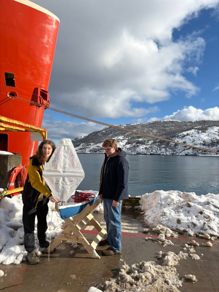
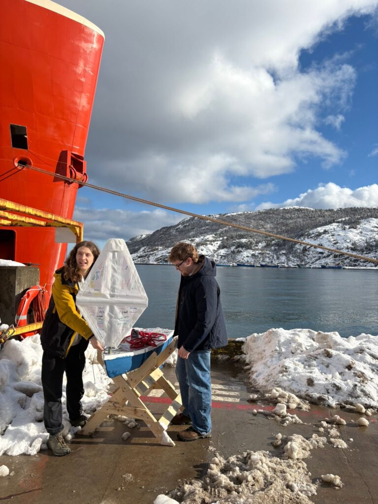
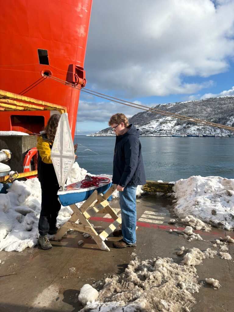
The crew of the DOF ship helped load her aboard and there she will wait until they leave port in a few days for launch. -
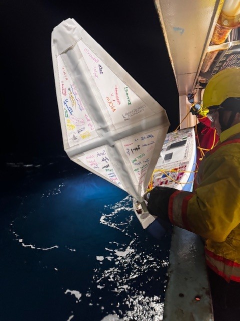
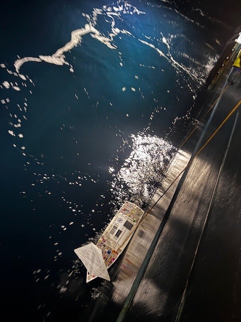
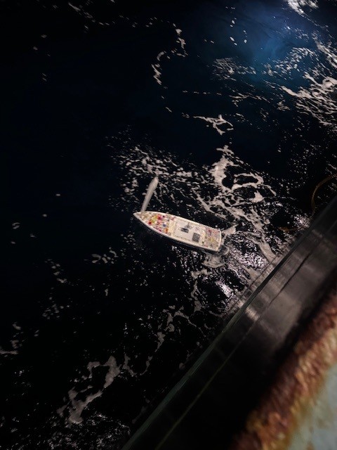
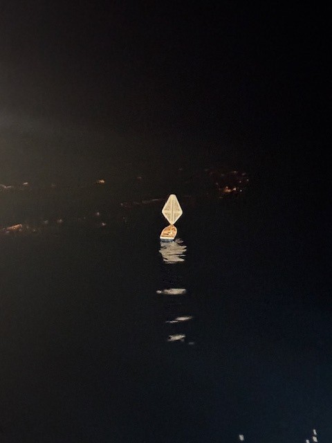
Launched into the North Atlantic
After a week aboard the Skandi Mobiliser out at sea, the winds and waves calmed enough to allow for a successful launch on February 16th! Thanks to the entire DOF crew for your support of our project and capturing this great moment:
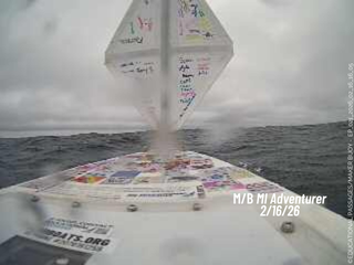
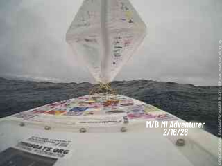
Here is the point of view from the miniboat, taken from the onboard camera:
Here is the data being collected from the sensor pack:
The location reports from the main GPS will show on the map at the top of this page here (which updates hourly with new positions if available). Here below is where you can see the data reporting from the second GPS which is connected to a custom sensor package. In addition to reporting location with a secondary GPS tracker, this system is also collecting air temperature, water temperature, and orientation of the boat. Please note that the map below will only the last 7 days of data and may include invalid points and data. If you are interested in looking at the data in a different format from the whole voyage, contact us.
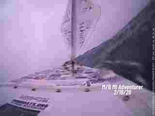
February 18th Update:
Just like her name suggests, the MI Adventurer has had quite the adventure going through a major storm system! We we will let the pictures tell the story:


Stay tuned for more updates!