Kapissillit
NOAA Salmon

Updates:
2nd Voyage
 2nd Voyage – May 28, 2012
Unfortunately the first voyage did not detect any salmon, so both boats were taken offshore to Georges Bank where they were re-launched on May 28th. The battery life on the GPS units are good for approximately 1000 reports and by 12/24/12 both the GPS units had stopped reporting. Zenith was almost halfway across the Atlantic and if we are successful in recovering these boats we can download the data and perhaps learn a little more about salmon migration routes.
The Kapissillit went silent on June 25, 2013.
1st Voyage
1st Voyage – May 9, 2012
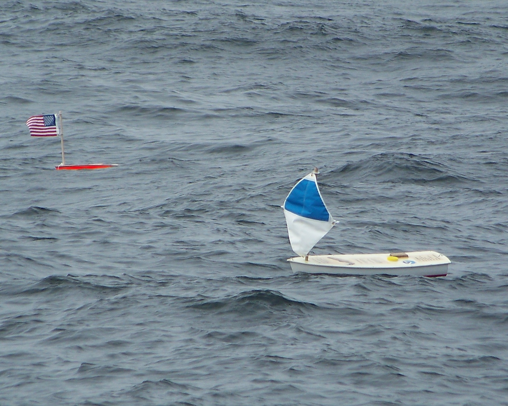
On May 9th the Kapissillit and Zenith were dropped off approximately 50 miles northeast of Cape Cod by the NOAA research ship Henry B. Bigelow on May 9, 2012. The Kapissillit was found and picked up on May 11 on Scrags Island by Swan’s Island Harbormaster.
Both miniboats sailed across the gulf of Maine and came ashore in the Mount Desert Island area on the Maine coast and were taken to NOAA’s Woods Hole Laboratory to see if they had detected any tagged salmon.
In the fall of 2011 The National Oceanic and Atmospheric Administration (NOAA) approached EP with the idea of putting ultrasound receivers on the keels of a couple of our boats to help determine Salmon migration routes in the Gulf of Maine and the North Atlantic. Young salmon were implanted with ultrasound transmitters and released from several Maine Rivers. If a tagged salmon swims within a half mile of one of these boats it will be detected by the receiver and we’ll have the time, date and location of that fish.
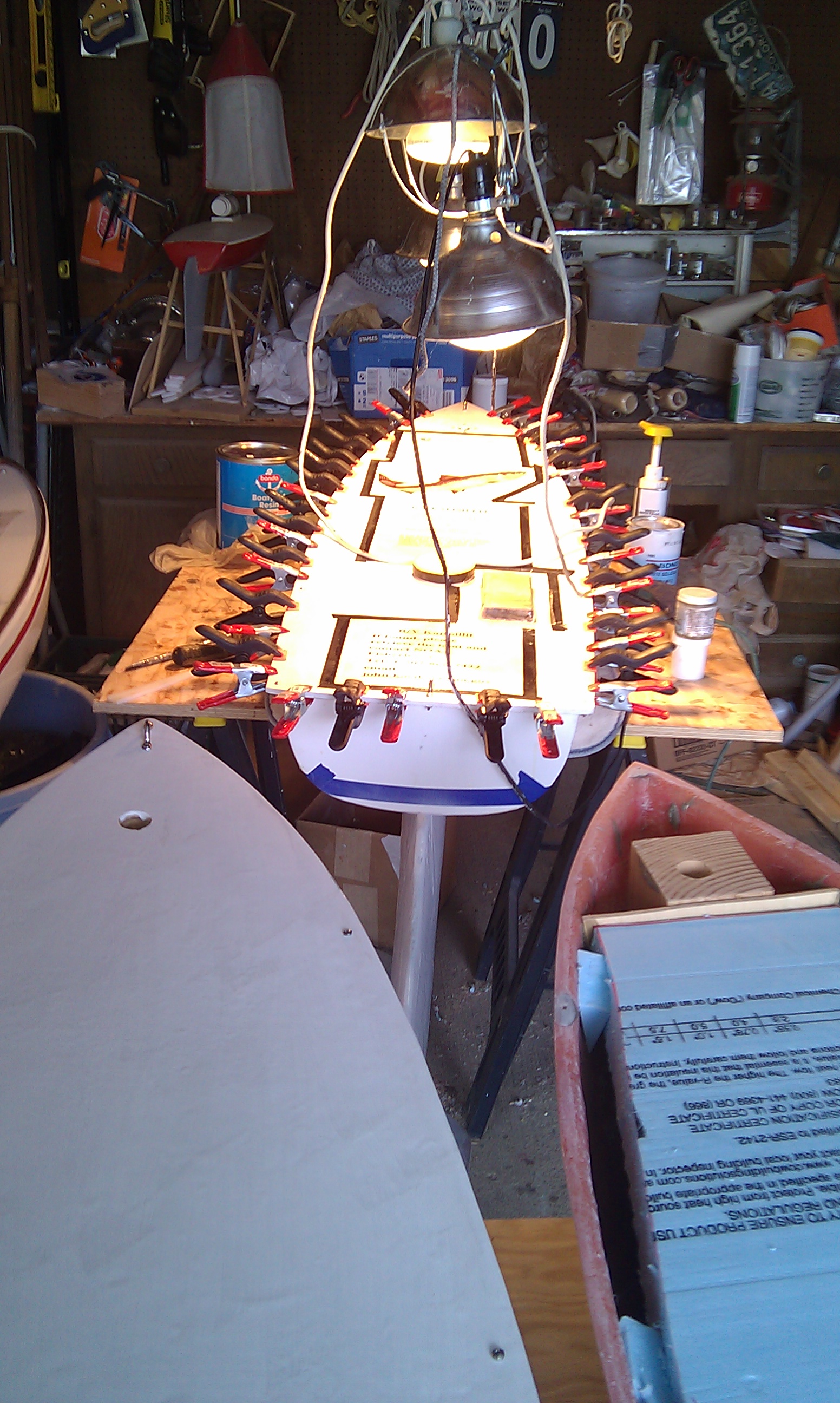
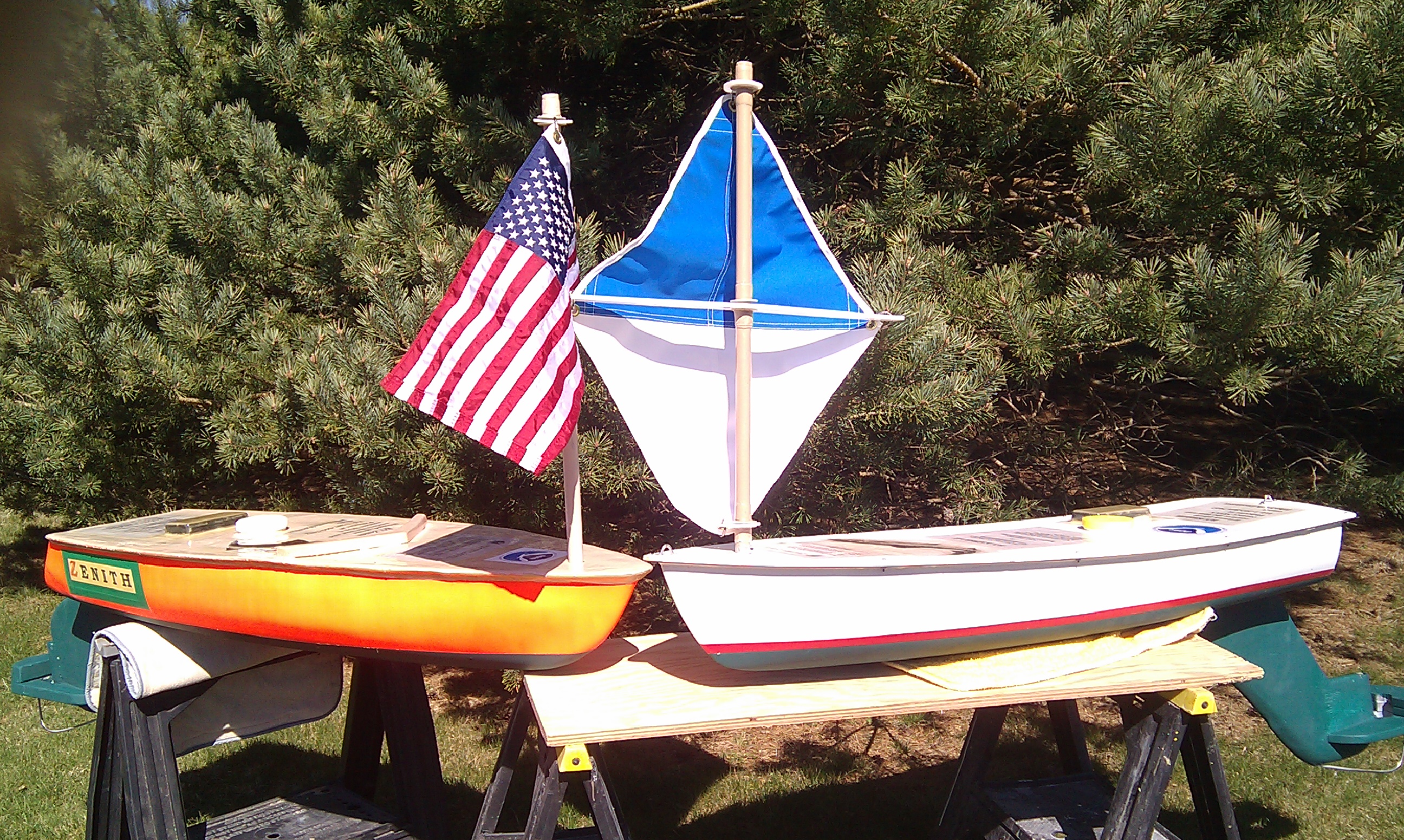
“Zenith” (Camden High School’s boat was refitted from her previous voyage in 2009) and “Kapissillit” (meaning King salmon in Indoit) were thus properly equipped to detect salmon and set out twice during the summer of 2012 in an effort to help identify salmon migration routes.